
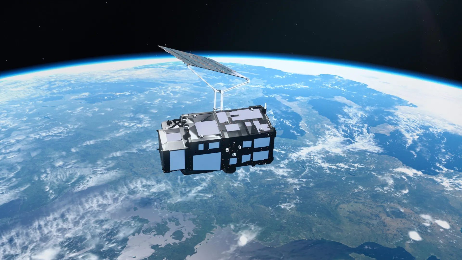
Just two weeks after reaching orbit, Europe's new Copernicus Sentinel-3C satellite has delivered its first spectacular images of Earth, revealing everything from the snow-covered Alps to the frozen Arctic and the brilliant turquoise waters of the Caribbean.
But the satellite is doing much more than taking beautiful pictures. Its instruments have also begun measuring ocean heights and the elevation of Greenland's massive ice sheet, providing an early demonstration of technology designed to monitor Earth's changing climate.
The first images and measurements come from two of Sentinel-3C's key instruments. Both are performing well in initial tests, bringing the satellite closer to its mission of tracking environmental changes across the planet.
A Powerful New Satellite to Monitor Earth's Changing Climate
Sentinel-3C is the third spacecraft in Europe's Sentinel-3 satellite series, a central part of the Copernicus Earth observation program. The satellites are equipped with matching sets of instruments that continuously gather information about the oceans, land, atmosphere, and cryosphere, which includes Earth's frozen regions.
Over the oceans, Sentinel-3 measures sea surface temperature, color, and height, along with sea ice thickness. These observations help scientists investigate marine pollution, track marine heatwaves, and understand changes in ocean conditions.
On land, the mission provides valuable information about droughts, wildfires, vegetation health, and how different areas are being used. It also measures water levels in rivers and lakes, as well as changes in the elevation of polar ice sheets.
The data support weather forecasting by providing timely observations of environmental conditions. They also help researchers identify long-term trends linked to climate change.
The European Space Agency (ESA) is still preparing Sentinel-3C for full operation through a detailed testing and commissioning process expected to take another five months. Nevertheless, the satellite's first two weeks in orbit have already produced encouraging results.
Stunning Satellite Images Reveal Italy's Diverse Landscape
One of Sentinel-3C's first images , captured on September 30 by its ocean and land color instrument, offers a remarkable natural-color view of Italy and its surrounding seas.
The image extends from southern Germany across the Italian peninsula to Sicily and the southern Mediterranean. It reveals an extraordinary variety of landscapes, from towering mountains and fertile farmland to deep blue waters.
Near the upper center of the scene, the Po Valley stands out as a broad expanse of green and brown. This fertile region is the heart of Italy's agricultural production. Immediately to the north, the snow-covered Alps rise dramatically above the lowlands, their bright white peaks creating a striking contrast with the surrounding terrain.
Elsewhere across Italy, different shades of green and brown reveal variations in vegetation, farming activity, and land cover.
To the east, the Adriatic Sea separates Italy from the partially visible Balkan Peninsula. Along Italy's eastern coast, bands of lighter blue water stand out against the deeper blue offshore. Scientists believe these color differences are likely caused by sediment carried into the sea by rivers and redistributed by coastal currents.
On the opposite side of the peninsula, the dark waters of the Tyrrhenian Sea surround Sardinia and Sicily. Corsica is also within the image, alth…